Enviroment
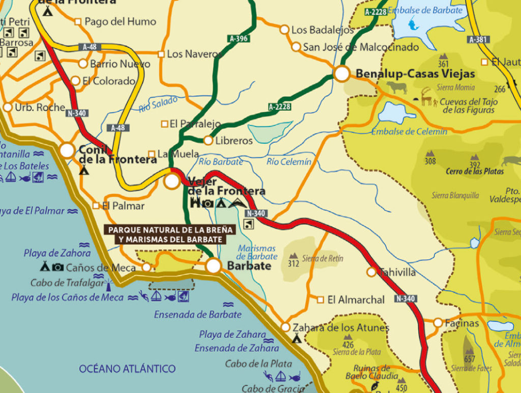
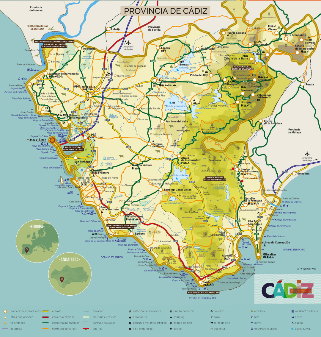
Vejer de la Frontera is located in the south-west of the province of Cádiz, has a surface area of 236 km2 and extends over the region immediately to the west of the Comarca de la Janda. It borders the Atlantic, Conil, Chiclana, Medina Sidonia, Tarifa and Barbate. The town is built on a hill which, cut by the river Barbate, slopes steeply down towards it, to which the town owes its fantastic views.
The municipality of Vejer is very large, with numerous rural areas: La Oliva, Poblado de Varelo-El Cañal, Libreros-Jandilla, Nájara, Cantarranas, Las Lomas, Naveros-Cañadas del Taraje, La Muela-Patría-Los Parralejos, Santa Lucía, El Palmar, La Barca-Langostura-El Soto, Paternilla-San Ambrosio and Cañada Ancha. The population of Vejer is 12,881 inhabitants.


Orography
Vejer has a varied orography, in which a distinction is made between the coastal area, generally flat and without great relief in the municipal area, and the inland area, with steep hills, an example of which is the town of Vejer itself, at an altitude of 190 metres.
Between the limestone centres there are streams that flow into the Barbate and Salado rivers. This orography allows us to see spectacular landscapes with contrasting beaches, marshes, countryside, forests and mountains. The coastal strip consists of 7 km of beach.
Climate
The climate of Vejer is Mediterranean-maritime, with rainfall of 600 to 1,100 mm.
Two seasons can be established, a temperate-humid season from November to April and a warm season from May to October.
The average annual temperature is quite mild, ranging between 17 and 19º C. Extreme temperatures are rare.
The prevailing winds are, in the first place, the Levante winds, followed by the Poniente and Vendaval winds.

